
Signals arrive too late
Crop stress begins days before it can be diagnosed by eye.
AI for low-pesticide agriculture
Innosapien turns satellite, field and crop data into continuous intelligence—helping farmers act earlier, use fewer inputs and produce more valuable crops.
Built in the field with smallholder farmers
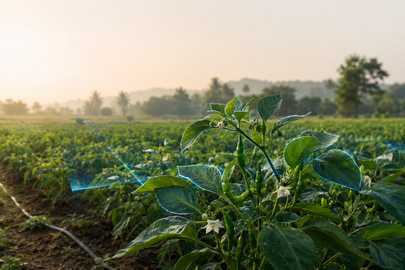
Black thrips risk remains below action threshold.
01 From a single leaf to an entire growing region
Measured through deployed programs in India
By the time pest, disease or water stress is obvious, the cheapest and safest options are often gone. Farmers respond with blanket sprays because the field lacks a reliable early-warning system.
Crop stress begins days before it can be diagnosed by eye.
Satellite, weather, field notes and farm records rarely meet in one decision.
Partners cannot reliably connect an intervention to yield, quality or climate impact.
A continuous crop-intelligence system that senses what is happening, predicts what comes next and records whether the intervention worked.
Satellite, cameras, field observations, weather, soil and IoT create a continuous view of the crop.
A living digital twin turns fragmented signals into crop condition, growth stage and field-level context.
AI anticipates water stress, black thrips, leaf curl and disease risk before damage becomes obvious.
Teams receive minimum-intervention recommendations and a defensible record of what changed.
Built for the realities of smallholder agriculture: fragmented plots, low connectivity, local languages and uneven digital literacy.
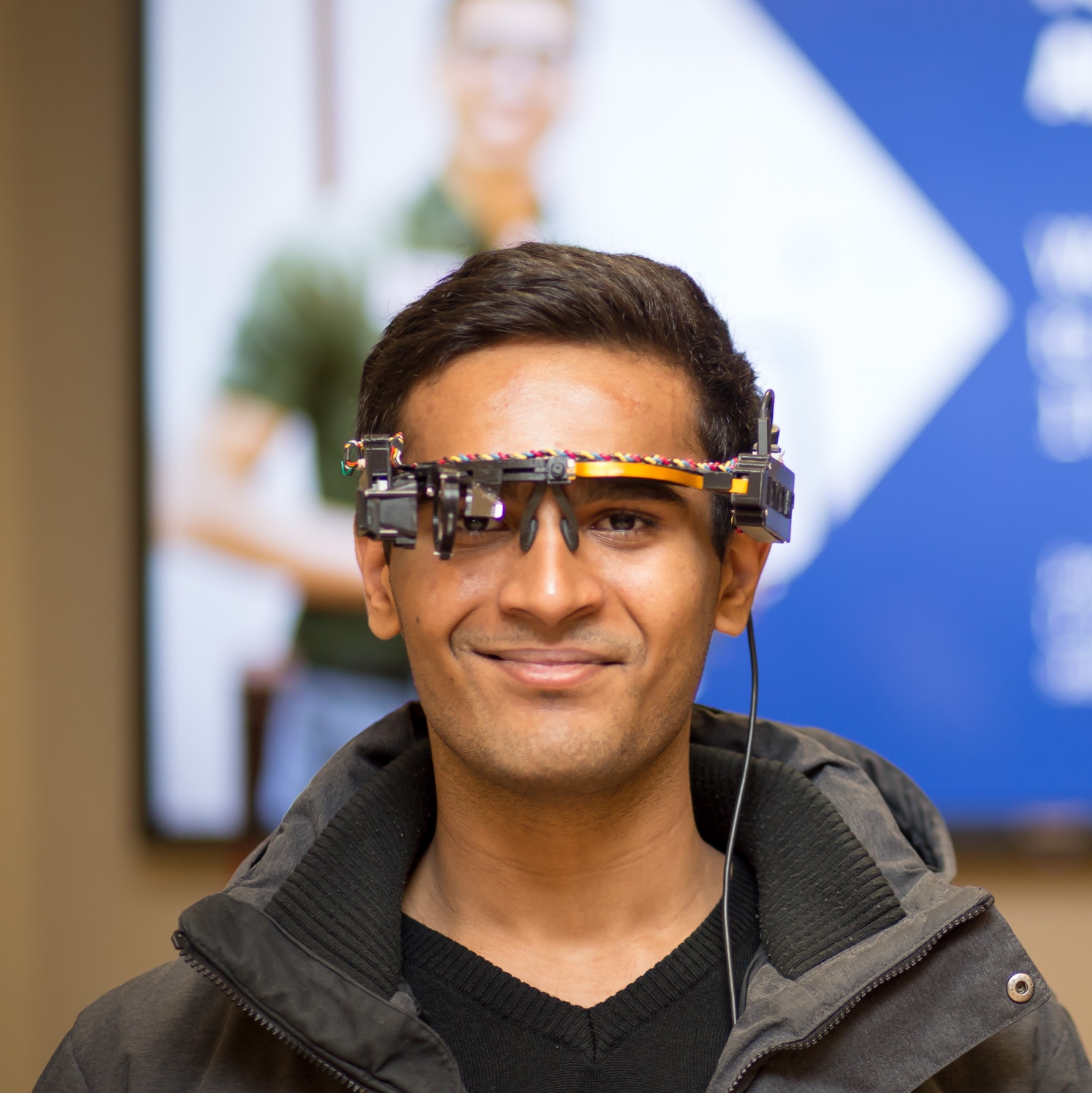
Bring intelligence to your growing regionJitendra, an Innosapien field scout, uses our plant phenotyping device while inspecting green-chilli crops. The system captures close-range visual and spectral-response evidence, including thermal imagery, and stores each observation for model development.
Actual implementation imagery. Sample frames are shown as captured and are not presented as standalone agronomic diagnoses.
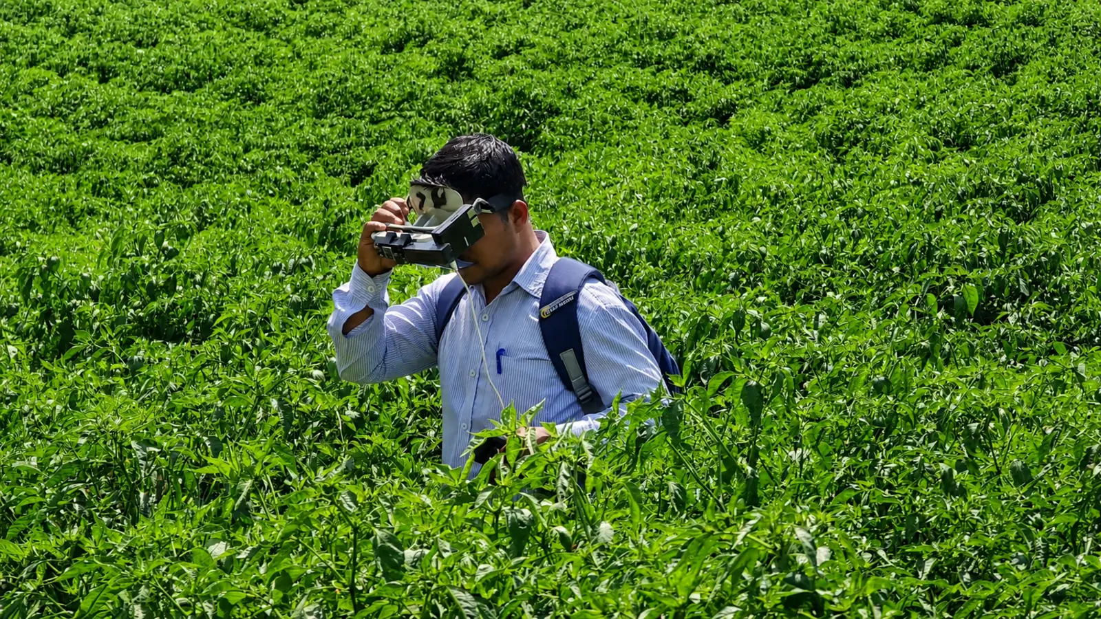
The plant phenotyping system keeps observation hands-free while the field scout inspects green-chilli plants in context.
Innosapien keeps the crop state current through the season, so each recommendation uses what happened before and improves what happens next.
Continuous risk models identify water stress, black thrips, leaf curl and disease pressure early enough to preserve low-input options.
Field teams move from calendar-based blanket spraying to crop-stage, plot-level decisions with clear thresholds and confidence.
The same evidence trail records input use, crop response, yield, quality and—where relevant—carbon and nature outcomes.
A real mango-tree scan becomes a navigable spatial record—then a surface for structure, canopy and visual-screening models. This is one capture on the path to a living, time-series crop twin.
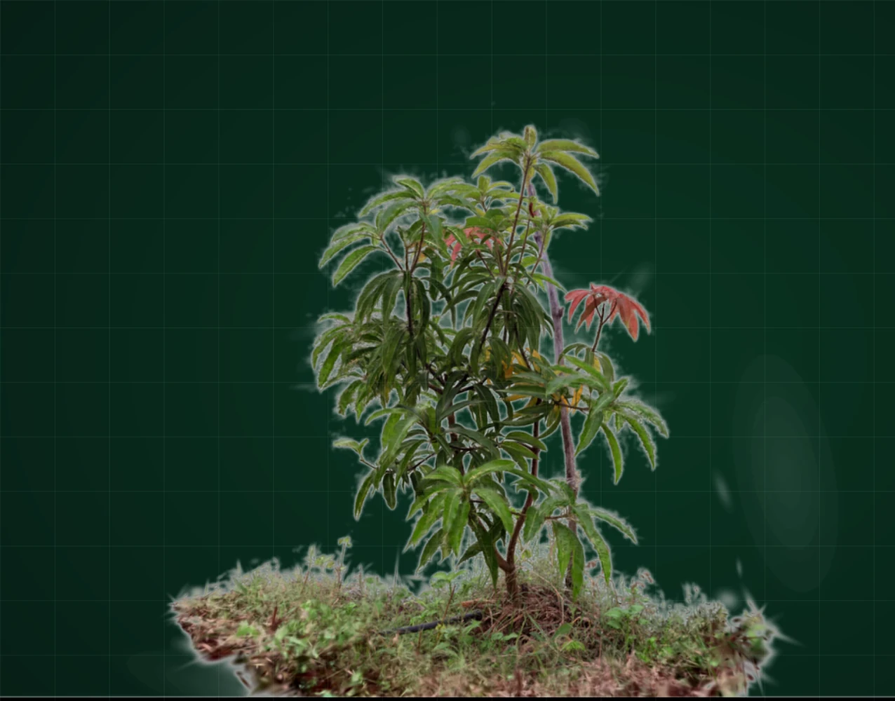
Loads here—then drag to rotate and zoom
The reconstruction is real. Analytical previews are clearly separated from production disease diagnosis and calibrated physical measurements.
In a NABARD-supported green-chilli program, Innosapien combined crop intelligence, field delivery and market-quality protocols. Farmers received decisions they could act on—not raw data they had to interpret.
Explore the 251-farm demoSelected outcomes reported across the deployed program; field performance varies by season and farm conditions.
Our wedge is low-pesticide agriculture. The underlying intelligence layer extends to other high-value decisions without becoming a collection of unrelated products.
Early warning and minimum-intervention guidance for water stress, black thrips, leaf curl and residue-sensitive production.
Plot-level crop vigour, irrigation stress and harvest-window intelligence for farmers and mills.
Geospatial evidence for tree survival, growth, canopy change and community-owned climate programs.
Carbon and dMRV are not a second company. They are an adjacent outcome layer built on the same farm evidence: what changed, where, when and with what result.
One evidence architecture across agronomy, traceability and climate outcomes.
Competitors typically sell a sensor, a satellite layer, an advisory app or a carbon dashboard. Innosapien connects observation, prediction, intervention and verification in one learning system.
A spatial-temporal model that combines crop imagery, satellite, soil, weather, IoT and field records—not another single-signal dashboard.
Models improve through real deployments, observed interventions and end-of-season outcomes across crops and growing conditions.
Designed for fragmented plots, intermittent connectivity, local languages and delivery through scouts, farmer groups and partners.
Years of research in AI, imaging and wearable sensing provide a technical foundation that predates the current precision-agriculture cycle.
Deliver consistent crop decisions across fragmented plots while retaining farmer trust.
Improve supply quality, reduce residue risk and see crop conditions before procurement.
Run agricultural programs with measurable adoption, productivity and income outcomes.
Add audit-ready field evidence to community-led regenerative agriculture and agroforestry.
Innosapien grew from research in AI, imaging, sensors and wearable computing—and from a family connection to farming. We build in the field because the last mile is not a distribution problem to solve later; it is part of the product.
Engineer and researcher in AI, sensing and wearable computing. University of Toronto ECE; former Research Scientist at the Humanistic Intelligence Lab; AI course tutor at Oxford.
Product · AI · field systems
Public policy and international development leader focused on climate, institutions and scale. Master in Public Policy, Harvard Kennedy School.
Strategy · partnerships · scaleWe partner with producer organizations, agribusinesses, governments and funders to turn a focused field problem into a scalable intelligence system.